Houston Weather Outlook: What to Expect This Monday, May 5th
Houston residents can anticipate a warm and partly cloudy start to the week on Monday, May 5th, with temperatures peaking near 85°F and a 20% chance of scattered showers. The National Weather Service (NWS) predicts mild humidity levels, offering a comfortable yet typical spring day for the region. While no severe weather alerts are currently in effect, experts advise keeping an umbrella handy for isolated afternoon rain.
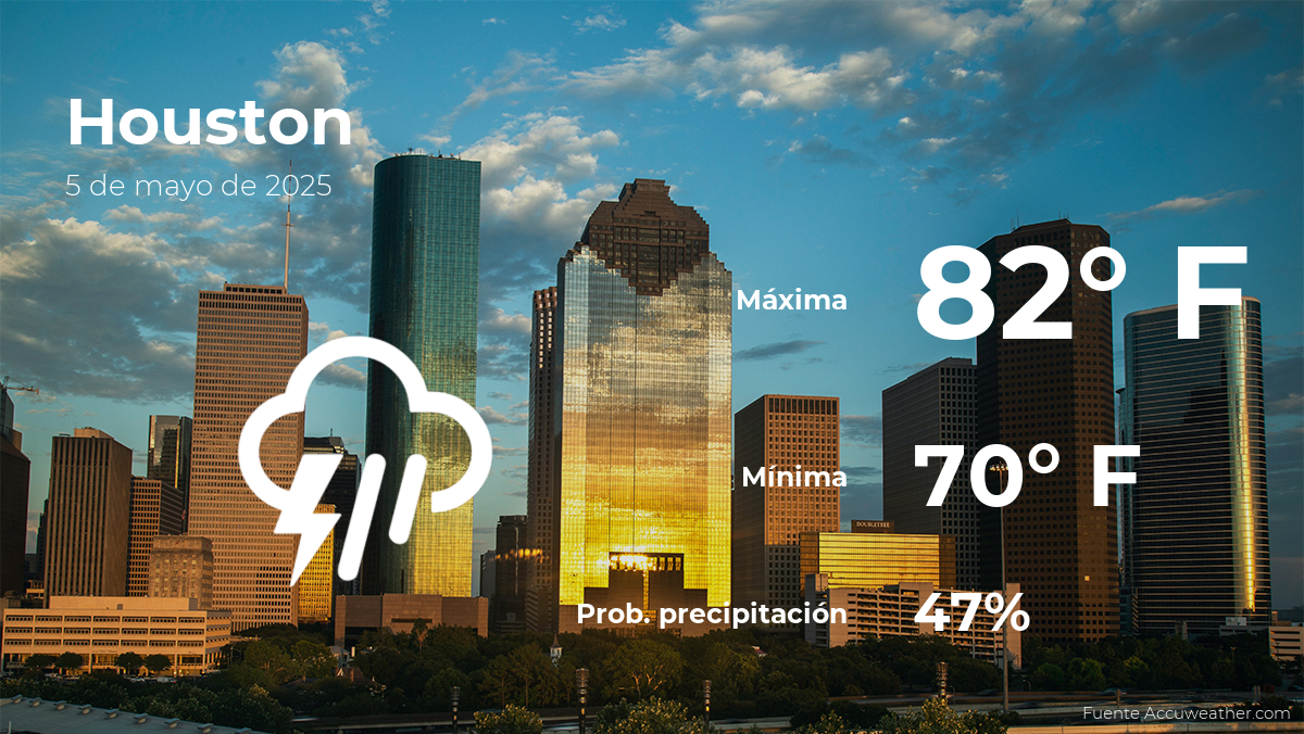
Temperature Trends and Humidity Levels
Morning commuters will encounter mild conditions, with lows around 70°F before sunrise. By midday, temperatures will climb steadily, reaching a high of 83-85°F under partly sunny skies. “This aligns with Houston’s average May temperatures,” says Dr. Lisa Reynolds, a climatologist at Texas A&M University. “However, humidity levels around 65% could make it feel slightly warmer than the thermometer suggests.”
Key temperature benchmarks for May 5th:
- 6:00 AM: 70°F, mostly clear
- 12:00 PM: 80°F, partly cloudy
- 3:00 PM: 85°F, peak heat
- 8:00 PM: 75°F, gradual cooling
Precipitation and Storm Potential
While the day will remain largely dry, a weak frontal boundary could trigger isolated showers in the afternoon. The NWS estimates a 20% chance of rain, primarily between 2:00 PM and 6:00 PM. “These showers will likely be brief and spotty,” notes meteorologist Carlos Mendez of the Houston Weather Center. “Accumulations, if any, won’t exceed 0.1 inches.”
Residents planning outdoor activities should monitor radar updates, though significant disruptions are unlikely. The absence of severe thunderstorm indicators—such as high wind shear or atmospheric instability—reduces concerns for larger weather events.
Expert Insights on Seasonal Patterns
May marks Houston’s transition toward hotter, more humid conditions. Historical data from the last decade shows an average high of 86°F for early May, with rainfall occurring on approximately 30% of days. “We’re entering the time of year where pop-up showers become more frequent,” explains Dr. Reynolds. “But Monday’s weather is more of a teaser than a trendsetter.”
Local gardeners and farmers, however, remain cautious. “Even light rain can benefit newly planted crops,” says Javier Ortiz, a Harris County agricultural extension agent. “But dry spells later in the week might necessitate irrigation.”
How to Prepare for the Day Ahead
With no extreme weather expected, Houstonians can focus on typical seasonal preparedness:
- Dress in layers: Lightweight clothing for daytime heat, with a light jacket for cooler evenings.
- Stay hydrated: Carry water, especially during outdoor exertion.
- Monitor updates: Download a weather app for real-time alerts on isolated showers.
Long-Term Forecast and Climate Context
Looking beyond Monday, the NWS 7-day outlook suggests rising temperatures, with highs approaching 90°F by midweek. Climate models also indicate a 40% chance of thunderstorms next weekend, typical for Houston’s volatile spring-to-summer shift.
“While this Monday is relatively calm, it’s a reminder that hurricane season is just around the corner,” warns Mendez. The Atlantic hurricane season begins June 1st, prompting officials to urge residents to review emergency plans.
For real-time updates, follow the NWS Houston/Galveston office or tune into local news broadcasts. Stay informed, stay prepared, and enjoy the manageable weather while it lasts.
See more Your Daily Weather