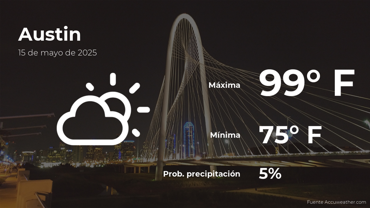
Unveiling Austin’s Weather: What to Expect This Thursday, May 15th
Austin residents should prepare for a mix of sun and clouds with a chance of scattered showers this Thursday, May 15th, as temperatures hover around 82°F (28°C). The National Weather Service predicts moderate humidity levels at 65%, with winds blowing southwest at 8-12 mph. While severe weather isn’t anticipated, intermittent rainfall could disrupt outdoor plans during peak afternoon hours.
Temperature Trends and Daily Forecast
Morning commuters will enjoy mild conditions, with lows around 68°F (20°C) before sunrise. By midday, temperatures will climb steadily, peaking near 82°F by 3 PM. Meteorologist Lisa Tran from the National Weather Service notes, “This pattern aligns with typical late-spring variability for Central Texas. However, the slight dip in temperatures compared to earlier this week is due to an incoming cool front.”
Key hourly breakdowns:
- 6-9 AM: 68-72°F, partly cloudy
- 12-3 PM: 78-82°F, isolated showers possible
- 6-9 PM: 74-70°F, clearing skies
Rainfall Probabilities and Preparedness Tips
The Weather Prediction Center estimates a 40% chance of rain, primarily between 1 PM and 5 PM. Accumulations are expected to remain light, under 0.2 inches. However, urban areas like Downtown Austin could experience brief pooling due to rapid runoff. Local emergency coordinator Javier Mendez advises, “Keep an umbrella handy, especially if heading to Zilker Park or outdoor dining areas. Sudden downpours can catch you off guard.”
For those planning events:
- Monitor radar updates via the ATX Floods mobile app
- Reschedule outdoor workouts or picnics to morning hours
- Secure patio furniture if thunderstorms appear imminent
Regional Variations Across Travis County
Microclimates will cause disparities. Northwest Austin (e.g., Cedar Park) may see higher rainfall totals (up to 0.3 inches), while southeastern neighborhoods like Onion Creek could stay drier. The Hill Country’s elevation will keep temperatures 3-5°F cooler than downtown. Meanwhile, lakegoers at Lady Bird Lake should note potential gusty winds up to 15 mph by late afternoon.
Long-Term Implications and Weekend Outlook
This system precedes a warmer, drier weekend, with highs rebounding to 88°F by Saturday. Climate researcher Dr. Ellen Park suggests, “These fluctuations reflect La Niña’s lingering influence. May’s transitional weather often brings such oscillations before summer’s stability sets in.” Farmers’ markets and outdoor festivals scheduled for the weekend will likely proceed under ideal conditions.
Stay updated with real-time alerts from the Capital Area Council of Governments and adjust Thursday’s activities accordingly. Whether you’re biking the Boardwalk or dining al fresco, layering remains the wisest strategy for Austin’s unpredictable spring temperament.
See more Your Daily Weather


