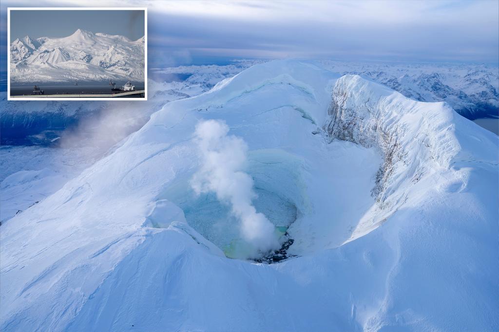
Scientists Monitor Alaska’s Mount Spurr as Eruption Watch Intensifies
Alaska’s Mount Spurr remains under heightened surveillance as scientists from the Alaska Volcano Observatory (AVO) maintain a yellow alert status, signaling potential volcanic unrest. Located 80 miles west of Anchorage, the 11,070-foot stratovolcano has shown increased seismic activity since early June, prompting concerns about possible eruptions and their impact on nearby communities and air traffic. Experts are deploying additional monitoring equipment while analyzing gas emissions and ground deformation to assess risks.
Current Activity and Monitoring Efforts
Mount Spurr, part of the Pacific Ring of Fire, last erupted in 1992, blanketing Anchorage in ash and disrupting air travel across North America. The current uptick in earthquakes—averaging 10-15 daily at depths of 3-6 miles—suggests magma movement, though an eruption isn’t imminent. “The patterns mirror precursor activity we’ve seen before moderate eruptions,” said AVO geophysicist Dr. Sarah Linwood. “However, only 20% of such episodes actually lead to eruptions.”
Monitoring tools now in use include:
- Real-time seismic networks tracking earthquake swarms
- Satellite-based radar measuring ground inflation
- Airborne gas sensors detecting sulfur dioxide spikes
- Webcams capturing visual changes in the summit crater
Potential Impacts on Communities and Infrastructure
With Anchorage’s population of 288,000 downwind of the volcano, emergency managers have updated evacuation routes and ashfall preparedness plans. The 1992 eruption caused $160 million in economic losses (adjusted for inflation), primarily from aviation disruptions. “Ash plumes pose dual threats—ground-level health hazards and aircraft engine damage,” explained FAA regional director Mark Tolbert. “Even minor eruptions can shut down trans-Pacific flight paths.”
Environmental scientists also warn of secondary effects:
- Acid rain damaging fisheries in Cook Inlet
- Ash contamination of drinking water supplies
- Respiratory risks for vulnerable populations
Historical Context and Geological Significance
Mount Spurr’s eruption cycle averages 50-100 years, with three confirmed events since 1953. Its 1992 outburst ejected 3 million tons of ash, reaching 8.5 miles high. The volcano’s structure—a steep-sided cone built from alternating lava flows and explosive deposits—makes it prone to pyroclastic surges. “Spurr belongs to the same volcanic arc as Redoubt and Augustine,” noted University of Alaska volcanologist Professor James Kelleher. “When one becomes active, we scrutinize the others.”
Comparative data shows:
- 1992 Eruption: VEI 4 (Volcanic Explosivity Index), 13-hour duration
- 1953 Eruption: VEI 3, created the current summit crater
- 2004-2006 Activity: Gas emissions without eruption
Preparedness Measures and Public Response
Local schools have conducted ashfall drills, while hospitals stockpiled additional asthma medications. The AVO’s public dashboard shows real-time data, receiving 12,000 daily visits since the alert upgrade. “We’re not panicking, but we’ve checked our emergency kits,” said Anchorage resident Maria Fernandez, recalling the 1992 ash cleanup that took weeks.
Key preparedness actions include:
- Distributing N95 masks to at-risk communities
- Pre-positioning air filters for power plants
- Coordinating with airlines on alternate flight plans
Future Outlook and Research Priorities
Scientists will maintain 24/7 monitoring, with the next risk assessment due July 15. Thermal imaging flights scheduled for next week may reveal new fissures. Climate researchers also study Spurr’s potential to influence global temperatures—large eruptions can inject sulfate aerosols that cool the atmosphere temporarily.
Long-term monitoring improvements underway:
- Installation of infrasound detectors for explosion detection
- Expanded GPS network to measure micro-level ground shifts
- Community science programs training locals to report anomalies
While uncertainty remains, the coordinated response exemplifies advances in volcanic threat reduction since the 1990s. Residents and travelers are encouraged to bookmark AVO updates and review emergency checklists. As Dr. Linwood emphasized, “Vigilance, not alarm, is our guiding principle.”
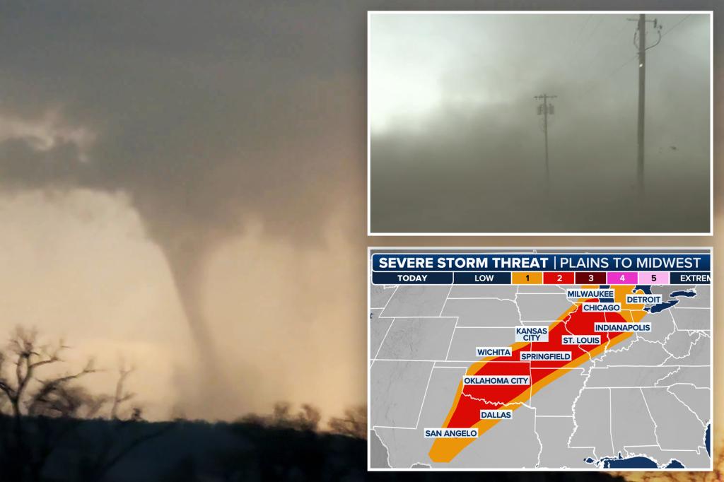
See more Your Daily Weather